- 29/08/2024
- Posted by: admin
- Category: Project
No Comments
Implementation time: 8/2024 – 11/2025
Client: Department of Science and Technology of Ca Mau Province
Content:
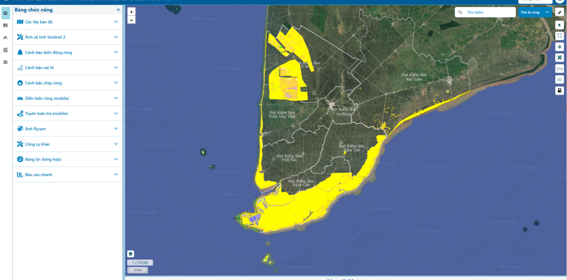
The application of remote sensing technology and satellite imagery for the management and monitoring of forest resources and coastal erosion in Cà Mau province is implemented based on the local orientation for forest management development.
The main objectives of the project include:
- Developing an automatic method for interpreting satellite imagery to detect forest loss and coastal erosion in Cà Mau province.
- Building software (server, WebGIS, Mobile) and applying remote sensing technology, utilizing satellite imagery to manage, notify, and promptly verify changes related to forest loss and coastal erosion.
- Strengthening monitoring capacity and enabling timely updates on changes in forests and forestry land for the province’s specialized forces.
